Sovereign maps, without tracking.
Free, sovereign basemaps, live weather radar, and place data — no Google or Mapbox keys, no usage tracking, no rate-limit surprises. Powered by Overture Maps and DWD RADOLAN, joinable against your own data via SQL or AI MasterMind.
No API keys, no quotas
Free for every Icelake account. No Google or Mapbox tokens, no per-tile billing, no rate-limit surprises in the middle of a deploy.
No usage tracking
Your map queries stay inside your tenant. No third-party telemetry pings, no analytics scripts, no behavioural data leaking to a vendor.
Built on Overture Maps
Open, vendor-neutral data: places, roads, buildings, and administrative divisions — refreshed with every upstream Overture release.
European sovereignty
Map tiles and place data served from EU infrastructure. GDPR-native by default — no transatlantic transfers, no US cloud dependencies.
Four open Overture layers, query-ready as SQL.
Every layer lands in Icelake's geo table as WGS84 GeoJSON, joinable against your own sensors, CSV uploads, and metrics. Query in SQL via pgwire, or just ask AI MasterMind in plain language.
- Places
- Roads
- Buildings
- Divisions
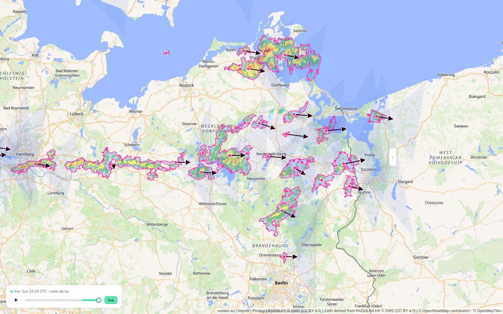
Live weather radar and storm tracking — also free.
Beyond the static basemap, maps.icelake.eu streams live German weather-radar frames and tracked storm cells — served from EU infrastructure, no API keys, no third-party tiles. The same layers are queryable in your geo table and overlay cleanly on your own data.
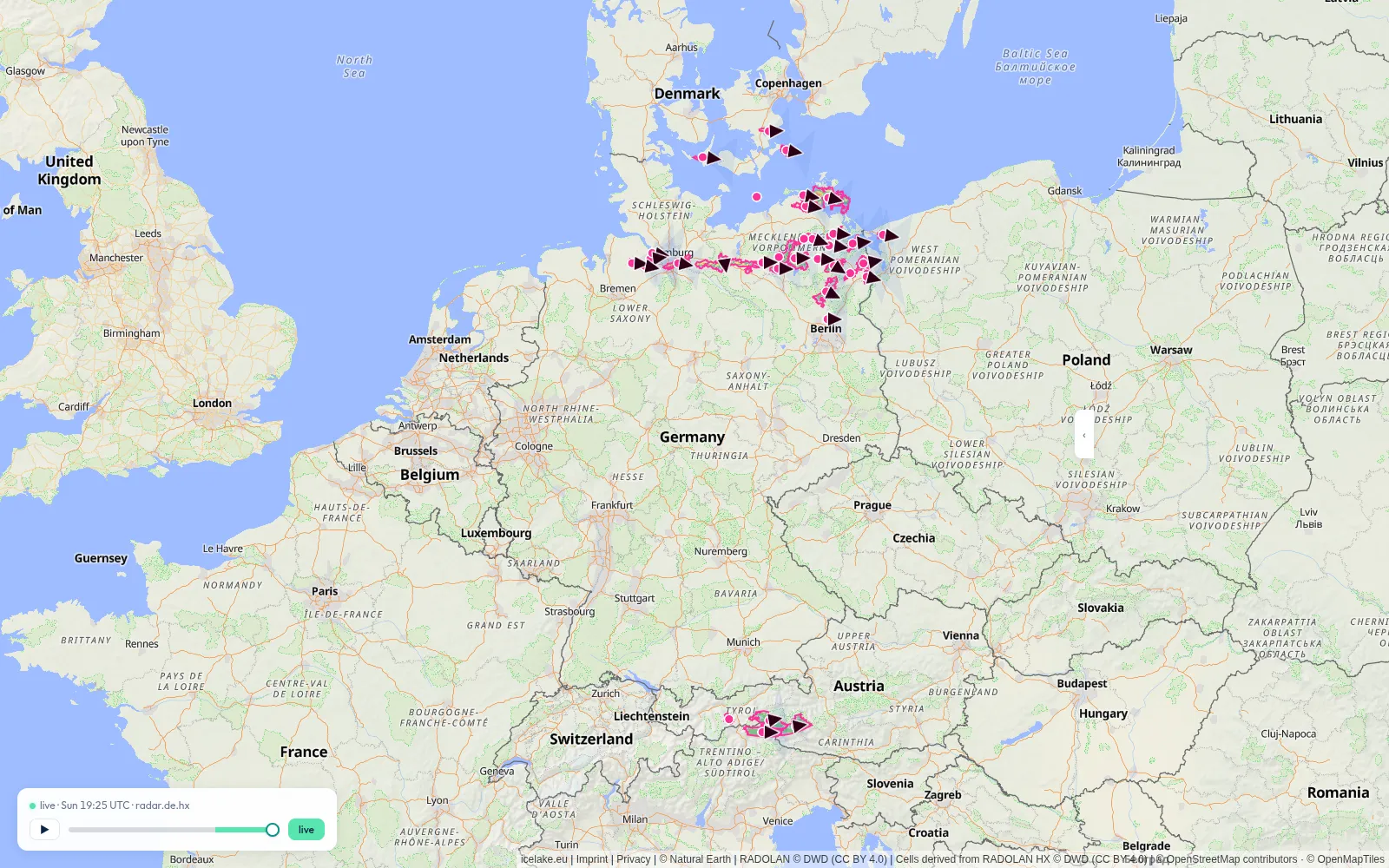
Weather radar (RADOLAN)
DWD RADOLAN rainfall and reflectivity composites, refreshed every 5 minutes as cloud-optimised GeoTIFFs and served as map tiles. Frame metadata lands in the geo table under source_id = 'rainradar'.
Storm-cell tracking
Convective cells detected and tracked frame-to-frame, each with a motion vector and a forecast cone. Public GeoJSON at api.icelake.eu — drop it straight onto any map.
Ready to get started?
Get started in minutes. Ingest data via Prometheus, Loki, OpenTelemetry, or MQTT. Query with SQL and AI.
